 |
VRMesh bridges the gap between raw data and AI training datasets, delivering precise 3D annotations and digital twins for physical AI development. |
Feature Highlights | ||||||
|
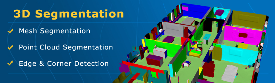
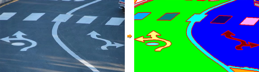
3D Segmentation | ||||||
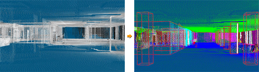
VRMesh introduces edge-based segmentation, a key 3D perception capability that allows AI robots to precisely interact with the real world and perform complex tasks like robotic grasping and manipulation. | ||||||
| ||||||
| ||||||
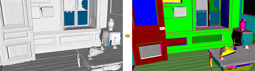
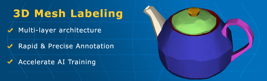
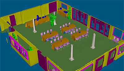
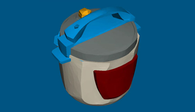
Multi-layer 3D Mesh Labeling | ||||||
It transforms training data into a rich knowledge source, enabling AI systems to develop deeper understanding, handle complex interactions, and scale more reliably to real-world applications. | ||||||
| ||||||
| ||||||
Video Highlights | ||
| WATCH ALL VIDEOS |