Industries
Land Surveying
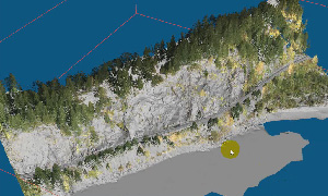
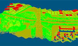
Point Cloud Classification:
Feature Extraction:
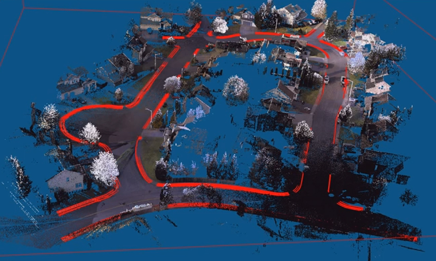
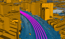
Extract Breaklines along a River
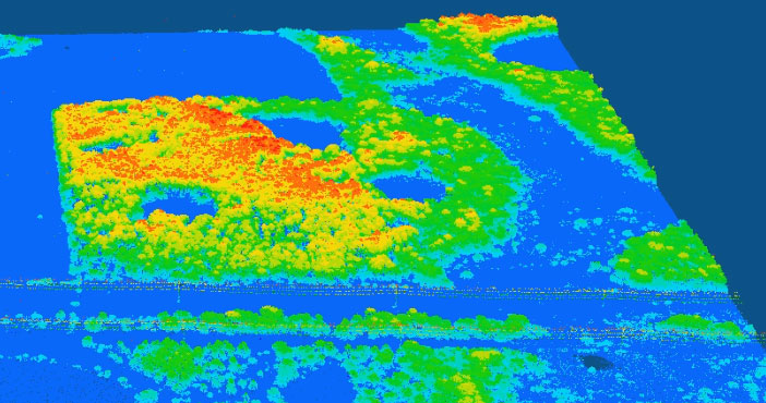
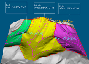
Water Catchment Analysis:
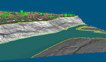
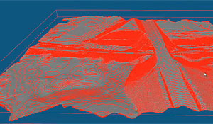
Create a clean ground surface
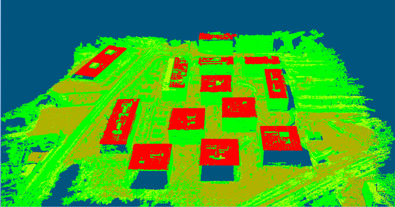
Extract Building Footprints: