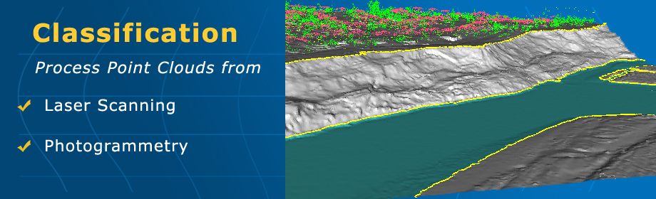
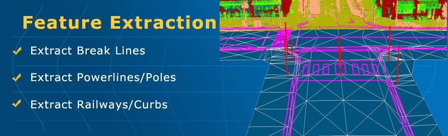
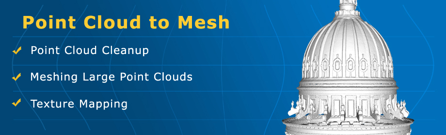
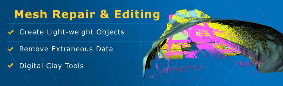
HomeFor point cloud and triangle mesh processing VirtualGrid
Home Products Tutorials Download Store Support Company  
 
VRMesh Studio VRMesh Survey VRMesh Reverse VRMesh Design VRMesh Plugin
 
 
... Land Surveying Solution ...

Looking for an automatic point cloud classification and feature extraction solution for airborne LiDAR/mobile LiDAR/aerial photography?

» VRMesh for ArcGIS» VRMesh Survey
... ...
... Reverse Engineering Solution ...

Looking for a complete solution for wraping point clouds into accurate polygon meshes as well as NURBS surfaces?

» VRMesh Reverse
... ...
... 3D Printing Solution ...

Looking for a powerful and easy-to-use solution for mesh repair/editing and free form modeling?

» VRMesh Design
... ...


Feature Highlights


Our Customers:


Latest Tutorials:


Extract ground / walls from mobile LiDAR YouTube movie  QuickTime movie


Create road surface from airborne LiDAR YouTube movie watch QuickTime movie Download Tutorials


3D tunnel analysis YouTube movie  QuickTime movie 3D tunnel analysis


NURBS creation YouTube movie QuickTime movie Download PDF


3D medical earplug design YouTube movie  QuickTime movie


Latest News:

 3/18/2013, VRMesh v7.6 released for enhanced performance.
 3/18/2013, Dental drill guide design in v7.6.
 3/18/2013, What's new in v7.6?
 1/14/2013, VRMesh plugin for ArcGIS released.
 10/9/2012, VRMesh library available.


Upcoming Event:

 7/7/2013, Esri 3D Mapping and Lidar Forum
  

San Diego Convention Center


©2003-2013, VirtualGrid. All rights reserved.   Privacy